Categories
North St. Louis Northside Regeneration Public Policy

Northside Regeneration’s New Scale

by Michael R. Allen

Today the Missouri Court of Appeals filed its ruling in Northside Regeneration and the City of St. Louis’ appeal of Circuit Court Judge Robert Dierker’s July 2010 ruling that suspended the redevelopment ordinances for Northside Regeneration’s redevelopment project. Rather than affirm the lower court’s ruling, the Court of Appeals stated that it would affirm the ruling but is instead sending it to the Missouri Supreme Court due to “due to the general interest or importance of questions involved.”

One of those fundamental questions is whether Missouri’s statues on tax increment financing (TIF) permit a municipal government to designate a tax increment financing plan for an area for which a developer has not provided specific redevelopment goals. Northside Regeneration has claimed that a redevelopment agreement for a small part of the larger 1,500 acre project satisfies Dierker’s identification of defects in the TIF and redevelopment ordinances. The Court of Appeals disagrees.

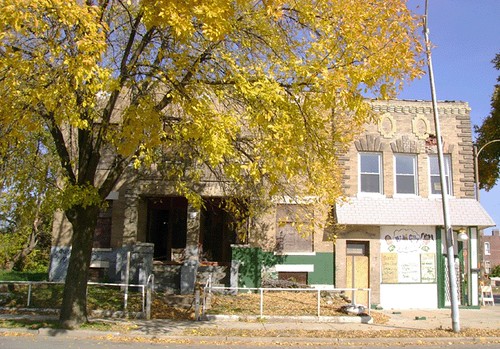
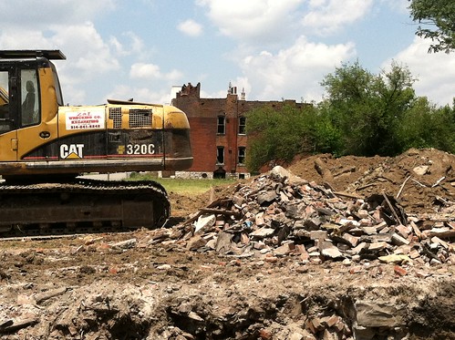
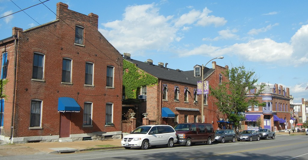
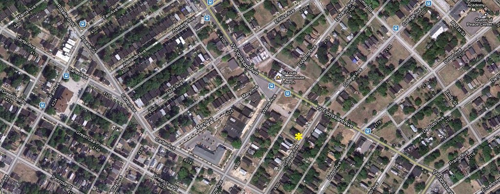
Notably, no citizens have challenged that separate redevelopment ordinance for several discrete projects within a smaller area. Should the developer want to pursue separate ordinances for smaller projects across the rest of the larger area it seeks to redevelop, there is not likely to be serious opposition. In the two years since Dierker’s ruling, Northside Regeneration has been able to acquire city-owned land in its project area, complete the rehabilitation of a warehouse on Delmar Boulevard and continue to pursue development goals. Northside Regneration’s ambitions remain large, but its operational scale has adjusted. The new scale is far less threatening to the urban fabric of the north side than it was during the acquisition phase, when entire blocks of buildings and people disappeared regularly.

The only facet of the project that has been obstructed is access to the $398 million TIF that the Board of Aldermen authorized in 2009. Dierker’s ruling does not preclude the passage of smaller TIF ordinances within the project. By the time the Missouri Supreme Court hears Northside Regeneration’s appeal, the developer may even have completed more projects in the area. What critics stated early on — that the project would have its greatest success block by block, project by project — will have become a deep reality for Northside Regeneration. Even the developer’s own approach, which has been lacking in the early fanfare and focused on obtainable work, reflects that. The 2009 ordinances are effectively dead at this point, and everyone knows it.

Categories
Demolition Lewis Place North St. Louis

Depletion, Newstead and Evans

by Michael R. Allen

Photograph from Geo St. Louis showing the corner building at 4401 Evans Avenue (right).

“Methinks it should be now a huge eclipse of sun and moon, and that the affrighted globe should yawn at alteration.”
Othello, Act 5, Scene 2

Yesterday, the St. Louis Shakespeare Festival ended this year’s run of Othello, and the quote included here reminded me of where I had been on Saturday. On Saturday, I spent some time with a journalist examining the sites of north city buildings that were sound and saveable but whose ends were near or already passed. While the ongoing depletion of north city’s neighborhoods is not the sudden and intense calamity that fell upon Cyprus in the play, it certainly represents a tragic eclipse occurring slowly and deliberately.

The globe of the city seems to yawn in response indeed, even though the results of building loss render some corners more rural than the Bootheel. At the northwest corner of Evans and Newstead avenues, we came upon the unearthed foundation of a corner storefront freshly demolished. Seven years ago, I walked this block of Evans to be greeted by a medley of brick buildings richly detailed with abundant ornamental brick, terra cotta, stamped metal and carved wood.

The site of 4401 Evans Avenue as it appeared over the weekend.

Now, the view from the corner makes the eye aim a half-block to hit a building wall. What the eye catches there is a vacant building, whose own life seems at a close. To the north, there is meadow and tree line for two blocks. Upon the soil no longer is rendered city, but some decomposed self. Like Othello, we have been blinded to the truth of our condition. Yet no schemer’s machinations lead us astray — just the neglect of inadequate policy.

Categories
Schools SLPS South St. Louis Tower Grove South

Investing in Mann School

by Michael R. Allen

Throughout 2009, the preservation community was startled by the February announcement by St. Louis Public Schools Superintendent Kelvin Adams that 17 schools were closing. Among the superintendent’s recommendations was the consolidation of Mann School (located at 4047 Juniata Avenue) in Tower Grove South with Sherman School in Shaw at the site of Mann School, which would be demolished for a new building.

Thankfully, that plan did not come to pass. Mann School survived the 2010 round of closings and Adams never again mentioned demolition or closure of the building, built in 1901 and 1916 according to designs by nationally-renowned master architect William B. Ittner.

Although Mann survived closure, the future of the building was not certain. That has changed. In May, the Special Administrative Board of the St. Louis Public Schools allotted contracts for restroom renovations and tuckpointing at the building. The investment in the building is good news to Tower Grove South, where Mann School is an important neighborhood anchor.

One of the reasons for Adams’ 2009 recommendation was the performance of students at this elementary school. Concerned neighbors formed the Alliance to Preserve Mann School, and parents and teachers worked on school performance. The closure proposal was a sobering reminder that architectural pedigree alone does not keep schools open. Public buildings are expressions of public culture. Mann’s construction reflected the ideals of the early 20th century, and its maintenance today reflects continued neighborhood investment in the school’s future.

Categories
Local Historic District Preservation Board Soulard South St. Louis

Soulard Solar Collectors

by Michael R. Allen

Looking northeast on Russell Avenue from Menard Street. The Bastille building is at center.

On May 21, the Preservation Board denied an application for solar collector installation from Robert Hiscox, owner of the Bastille bar at 1027 Russell in Soulard. Hiscox proposed installing black collector panels on the south-facing rear sloped roof of his building, shown at the center of the photograph above. Soulard is a local historic district governed by design standards last updated by ordinance in 1991.

The Soulard local historic district standards are not explicit about solar panels, which means that their installation requires a variance. The standards mandate that the character of sloped roofs be maintained through adherence to one of several times of approved roofing (most of which were not in use before 1900, I might point out). In a few instances, the Cultural Resources Office (CRO) has recommended that the Preservation Board grant a variance, and the Board has done just that. This time, however, CRO recommended denial of a variance based on the public visibility of the Bastille’s street-facing rear roof.

In her report to the Preservation Board, CRO Director Betsy Bradley wrote that “Russell Avenue is one of the wider streets in the district and links the historic district with interstate highway access and neighborhoods to the west, and therefore a street important in the perception of the historic character of the Soulard district.” Certainly, the Bastille’s roof is very visible and panels would change the visual character of the block. The Preservation Board made the right decision based on the current standards, which need to be rewritten to provide clear rules about solar collectors.

In an article by David Hunn in last week’s St. Louis Post-Dispatch, there is discussion of the need to revise the Soulard standards and other local district standards to create definite guidelines for the use of energy efficient technologies like solar collectors. Should new standards permit solar collectors to be installed on street-facing roofs? Perhaps. Standing-seam galvanized roofing was once a roofing material widely used on gable roofs in Soulard. A manufacturers’ challenge is to make solar panels that could mimic such a material, which could then be incorporated in revised standards.

Yet another consideration came from my colleague Mike Jackson at the Illinois Historic Preservation Agency, who e-mailed me after the story came out. Mike made the point that solar panels’ efficiency are generally only 10%, making them far less “green” than they seem. Purchasing power from regional off-site sustainable sources like wind farms, while undertaking efficiency measures on building envelopes, actually is more efficient for historic building owners than a few solar panels. Solar panels will become more efficient, but they may not be the greenest way to enhance historic buildings. Thus we should be careful when revising local district standards based on current technology.

Categories
Parks South St. Louis Southwest Garden Streets

Kingshighway Needs a Crosswalk at Tower Grove Park

by Michael R. Allen

In 1902, St. Louis Mayor Rolla Wells appointed a commission to make recommendations for establishing a circumferential boulevard. The commission, led by landscape architect George Kessler, delivered a report calling for a wide and well-landscaped road connecting Carondelet, Tower Grove, Forest and O’Fallon parks, the major north side cemeteries and the north and south riverfront areas. Wells signed an ordinance in 1907 enacting the plan, but its realization was never full. Parts of the Kingshighway system exist, such as the southeast extension along Christy and Holly Hills boulevards as well as the northern memorial parkway from Martin Luther King Drive to Penrose Park.

Yet where Kingshighway was partially or never realized, the road is noisy, sometimes ugly and difficult to traverse on foot. Alas, that is the case at Tower Grove Park. There are traffic signals at Magnolia and Arsenal streets, but no intervening signal or stop sign for the rest of the western length of the park. Residents of Southwest Garden to the west have a tough time walking into Tower Grove Park.

Categories
Chouteaus Landing Fire Industrial Buildings

Crunden-Martin After the Fire

by Michaela Burwell-Taylor

“The city, however, does not tell its past, but contains it like the lines of a hand, written in the corners of the streets, the gratings of the windows, the banisters of the steps…every segment marked in turn with scratches, indentations, scrolls.” – Italo Calvino

Photograph by Michaela Burwell-Taylor

Chouteau’s Landing, a quiet industrial district south of downtown St. Louis, seems to have been frozen in time. Known to many St. Louisans as a place to park before attending a Cardinals game, this area currently contains a handful of existing businesses. This urban landscape is defined by a once thriving river industry that was the center of the St. Louis economy. A landscape of elevated railways that weave their way through the old industrial complexes and the towering concrete interstate columns, which have detached this area from the rest of the city. The original function of these buildings has long since passed, yet something remains. Something special lingers in Chouteau’s Landing and the seven historic buildings that comprise the former Crunden-Martin Manufacturing Company complex are a large part of that something.

Photograph by Michaela Burwell-Taylor
Categories
College Hill Demolition Fairground North St. Louis O'Fallon

Demolition and Boundaries in North St Louis

by Michael R. Allen

This blog continues to chronicle the loss of north St. Louis building stock. Our goal is to illuminate the repetitive impact of careless demolition policy, and the social impact of individual demolitions. There is a special problem posed by demolitions in neighborhoods that are proximate to parts of the north side that have retained architectural integrity and are already listed or eligible for listing in the National Register of Historic Places.

Aerial photograph of the area around the intersection of Warne and West Florissant avenues. The location of the demolition at 4347-49 College Avenue is marked by the asterisk. O'Fallon's dense blocks are at right, Fairground's depleting density is at bottom right and College Hill's depleted blocks are at top right.

Demolitions across the north side don’t just remove problem properties. They remove housing stock and reduce the voter rolls. Demolitions destabilize neighborhoods. They erode sense of place, which turns owner-occupants away from neighborhoods, or north St. Louis entirely. Demolitions and persistent vacant lots lower land values. Expedient, perhaps. Damaging, for sure. The long-term impact of demolishing vacant buildings is the fulfillment of the “Team Four Plan” mythology: a depleted half-city easy to dismiss and lacking in density needed for truly flourishing urban life.

Categories
Events

Event: The History of the Delmar Loop Through Architecture

Tuesday, May 29, 2012 at 7:00 pm
Regional Arts Commission
6128 Delmar, 63112

Lecture by Meredith Hawkins Trautt, Archaeological Research Center of St. Louis

The Delmar Loop was named “One of the 10 Great Streets in America” by the American Planning Association. The history of the development of the Delmar Loop neighborhood can be viewed through the district’s unusual blend of high style and vernacular architecture from the Lion Gates in University City down Delmar to DeBaliviere and the Missouri History Museum in St. Louis City’s Forest Park. The Archaeological Research Center of St. Louis (ARC) was commissioned to prepare a study of the Loop’s architectural heritage as part of the Environmental Assessment for the proposed Loop Trolley Project.

Categories
National Register South St. Louis Southwest Garden

Introducing the Shaw’s Garden Historic District

South city’s newest National Register of Historic Places historic district is the Shaw’s Garden Historic District in Southwest Garden, listed by the National Park Service on April 16. The listing follows the listing of the adjacent Reber Place Historic District on the west side of Kingshighway, and makes a large part of Southwest Garden eligible for historic rehabilitation tax credits. even before listing was completed, developers already starting trying to purchase buildings in the districts for tax credit projects!

The Craftsman style is prevalent in the District, as evinced by these two-family buildings in the 4500 block of Shenandoah Avenue.

The Southwest Garden Neighborhood Association, with Community Development Block Grant funding allocated by Alderman Steve Conway (D-8th), hired Preservation Research Office to prepare both nominations. PRO Director Michael R. Allen and Architectural Historian Lynn Josse prepared the Shaw’s Garden Historic District nomination, which encompasses 18 city blocks and 403 contributing primary buildings.


View Shaw’s Garden Historic District in a larger map

The Shaw’s Garden Historic District represents the fulfillment of the desire of the Missouri Botanical Garden under Director George T. Moore to improve its surroundings through subdivision of property bequeathed to the Garden in the will of Henry Shaw, and the clear vision of suburban development advanced by the Garden’s long-time landscape architect John Noyes. The resulting landscape is a rare realization within the city limits of progressive suburban planning ideals implemented in contemporary landscapes in St. Louis County. An earlier subdivision, the Tower Grove Park Addition (1870), was largely undeveloped when the Garden platted the Shaw’s Vandeventer Avenue Addition north of Shaw Avenue in 1916.

The Tudor Revival-style house at 2605 Alfred Avenue, built in 1923 and designed by Sol Abrahms, faces the Missouri Botanical Garden.
Categories
Demolition Ladue Mid-Century Modern St. Louis County

Isadore Shank’s Limberg House Demolished

by Michael R. Allen

Fifty-two years ago, Charles Limberg and Suzanne Shapleigh moved into their new home at 22 Fordyce Lane in Ladue. Their two-story home spread out horizontally across a sloping site largely disrupted by construction. Red brick, plate glass and fir provided a rich material palate for a work of modern architecture designed by Isadore Shank (1902-1992), an architect whose work already had included several significant modern buildings in and around St. Louis.

Today, the house is gone, except for elements that have been lovingly salvaged by the architects’ sons Peter and Stephen. The new owners of the Limberg House had it torn down this month. Wrecking equipment destroyed landscape elements that almost concealed the home. The glass shattered, the mortar was ground out for brick salvage and much of the house was smashed and crushed.

The tragic end of the Limberg House is symptomatic of the plight of significant mid-century modern houses in Ladue. Ladue may have the region’s finest collection of significant large modern homes, but it lacks any historic preservation ordinance whatsoever. Owners can demolish homes, no matter how important they are. In 2006, the Louis Zorensky Residence off of Warson Road bit the dust. Two years prior, the neighboring Morton D. May House fell, despite its status as the work of Los Angeles-based modern master Samuel Marx. The architectural heritage of Ladue could very well be temporary, in the absence of dedicated owners. A for-sale sign may well be an early obituary.